Points of Historic Interest in Washoe County
Henness Pass Road (Dog Valley Road) at the California/Nevada Border
Von Schmidt Monument Historic Park
Near Verdi
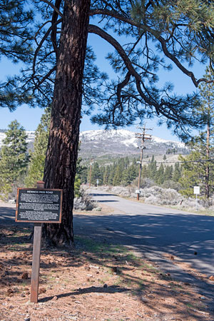
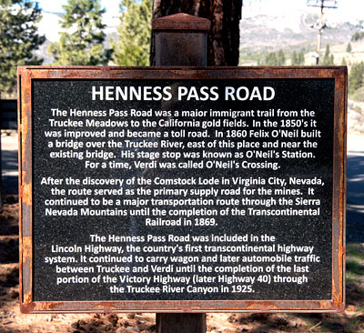
Henness Pass Road
The Henness Pass Road was a major immigrant trail from the Truckee Meadows to the California gold fields. In the 1850's it was improved and became a toll road. In 1860 Felix O'Neil built a bridge over the Truckee River, east of this place and near the existing bridge. His stage stop was known as O'Neil's Station. For a time, Verdi was known as O'Neil's Crossing.
After the discovery of the Comstock Lode in Virginia City, Nevada, the route served as the primary supply road for the mines. It continued to be a major transportation route through the Sierra Nevada Mountains until the completion of the Transcontinental Railroad in 1869.
The Henness Pass Road was included in the Lincoln Highway, the country's first transcontinental highway system. It continued to carry wagon and later automobile traffic between Truckee and Verdi until the completion of the last portion of the Victory Highway (later Highway 40) through the Truckee River Canyon in 1925.

Von Schmidt Monument Historic Park has four interpretive markers in addition to the Henness Pass Road marker: Overview, California/Nevada Boundary Marker, Truckee/Donner Trail and the Town of Crystal Peak.

Henness Pass Road is also California Historical Landmark 421.

The Lincoln Highway
The Lincoln Highway, conceived in 1912 and formally dedicated October 31, 1913, was the first road to cross the United States. It ran from Times Square in New York City to Lincoln Park in San Francisco passing through thirteen states: New York, New Jersey, Pennsylvania, Ohio, Indiana, Illinois, Iowa, Nebraska, Colorado, Wyoming, Utah, Nevada, and California.
In 1925, the US Bureau of Public Roads eliminated named trails and highways, and Lincoln Highway became drab series of numbers: US 1, US 30, US 40, US 50.
One of the last actions of the Lincoln Highway Association before it closed, was to order the casting of 3,000 concrete markers, to dedicate the highway to the memory of Abraham Lincoln. A rectangular head on top of a hexagonal shaped post, the markers featured the Lincoln Highway logo, a bronze medallion and arrows to indicate the route of the memorial highway. The US Bureau of Public Roads allowed the placement of these markers along the length of the old highway.
According to the 1916 edition of the Lincoln Highway Association Official Road Guide, a trip from the Atlantic to the Pacific was "something of a sporting proposition" and might take twenty to thirty days. Motorists were advised to top off their gasoline at every opportunity and to wade through water before driving through to verify the depth. Recommended equipment included chains, a shovel, an axe, jacks, tire casings, inner tubes and sundry tools. Firearms were not necessary, but west of Omaha full camping equipment was recommended.
Source: Lincoln Highway Association and others.


