Nevada Historic Markers in White Pine County: Copper Country
Nevada Historical Marker 9
Copper Country
US 50
Near Keystone


15 July 2008
(Click Photos to Enlarge)
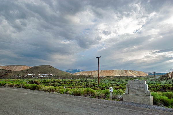
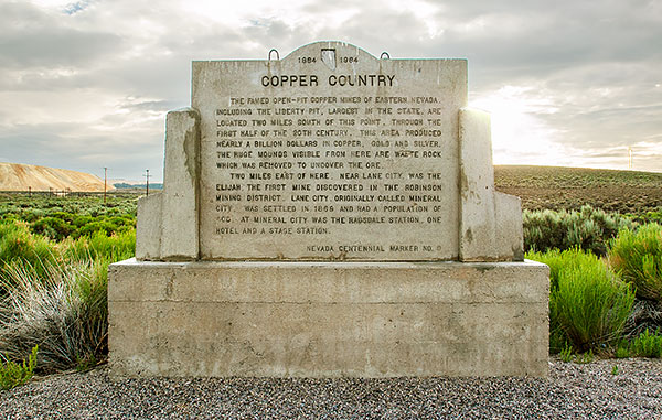
The famed open-pit copper mines of eastern Nevada including the Liberty Pit, largest in the state, are located two miles south of this point. Through the first half of the 20th century, this area produced nearly a billion dollars in copper, gold and silver. The huge mounds visible from here are waste rock which was removed to uncover the ore.
Two miles east of here, near Lane City, was the Elijah, the first mine discovered in the Robinson Mining District. Lane City, originally called Mineral City, was settled in 1869 and had a population of 400. At Mineral City was the Ragsdale Station, one hotel and a stage station.
Nevada Centennial Marker No. 9

The Lincoln Highway
The Lincoln Highway, conceived in 1912 and formally dedicated October 31, 1913, was the first road to cross the United States. It ran from Times Square in New York City to Lincoln Park in San Francisco passing through thirteen states: New York, New Jersey, Pennsylvania, Ohio, Indiana, Illinois, Iowa, Nebraska, Colorado, Wyoming, Utah, Nevada, and California.
In 1925, the US Bureau of Public Roads eliminated named trails and highways, and Lincoln Highway became drab series of numbers: US 1, US 30, US 40, US 50.
One of the last actions of the Lincoln Highway Association before it closed, was to order the casting of 3,000 concrete markers, to dedicate the highway to the memory of Abraham Lincoln. A rectangular head on top of a hexagonal shaped post, the markers featured the Lincoln Highway logo, a bronze medallion and arrows to indicate the route of the memorial highway. The US Bureau of Public Roads allowed the placement of these markers along the length of the old highway.
According to the 1916 edition of the Lincoln Highway Association Official Road Guide, a trip from the Atlantic to the Pacific was "something of a sporting proposition" and might take twenty to thirty days. Motorists were advised to top off their gasoline at every opportunity and to wade through water before driving through to verify the depth. Recommended equipment included chains, a shovel, an axe, jacks, tire casings, inner tubes and sundry tools. Firearms were not necessary, but west of Omaha full camping equipment was recommended.
Source: Lincoln Highway Association and others.
