National Register of Historic Places in Washoe County
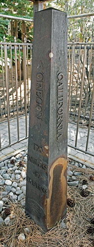
California-Nevada State Boundary Marker
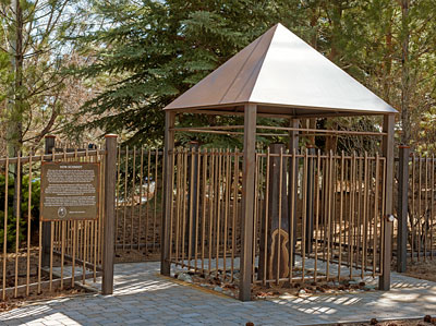
Von Schmidt Monument Historic Park
Henness Pass Road (Dog Valley Road) at the California/Nevada Border
Verdi
Year 1872-1873
Von Schmidt
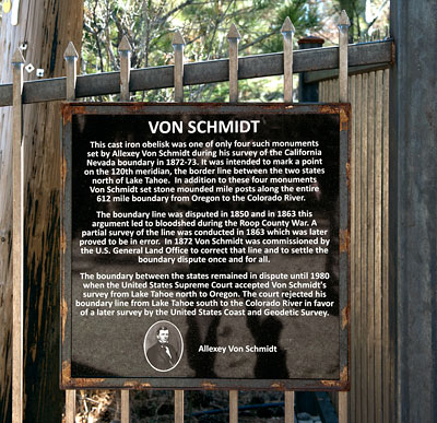
This cast iron obelisk was one of only four such monuments set by Allexey Von Schmidt during his survey of the California Nevada boundary in 1872-73. It was intended to mark a point on the 120th meridian, the border line between the two states north of Lake Tahoe. In addition to these four monuments Von Schmidt set stone mounded mile posts along the entire 612 mile boundary from Oregon to the Colorado River.
The boundary line was disputed in 1850 and in 1863 this argument led to bloodshed during the Roop County War. A partial survey of the line was conducted in 1863 which was later proved to be in error. In 1872 Von Schmidt was commissioned by the U.S. General Land Office to correct that line and to settle the boundary dispute once and for all.
The boundary between the states remained in dispute until 1980 when the United States Supreme Court accepted Von Schmidt's survey from Lake Tahoe north to Oregon. The court rejected his boundary line from Lake Tahoe south to the Colorado River in favor of a later survey by the United States Coast and Geodetic Survey.

Von Schmidt Monument Historic Park has four interpretive markers in addition to the National Register marker: Overview, Henness Pass Road, Truckee/Donner Trail and the Town of Crystal Peak.


