Historic Sites and Points of Interest in Placer County
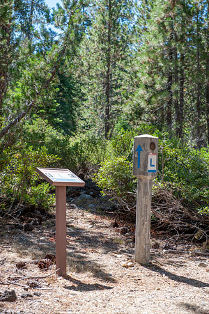
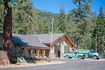
The Lincoln Highway is located across the road from the fire station. The historic markers in front of the pine tree are the Overland Emigrant Trail and Stephens-Townsend-Murphy Party.
2 September 2014
(Click Photos to Zoom)
Hampshire Rocks Road at the Big Bend Fire Station
East of Cisco Grove
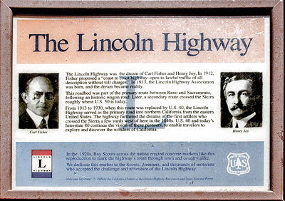
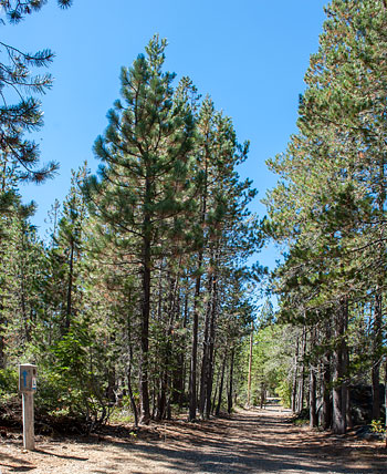
The marker by the old roadbed reads:
The Lincoln Highway
The Lincoln Highway was the dream of Carl Fisher and Henry Joy. In 1912, Fisher proposed a "coast to coast highway - open to lawful traffic of all descriptions without toll charges." In 1913, the Lincoln Highway Association was born, and the dream became reality.
This roadbed was part of the primary route between Reno and Sacramento, following an historic wagon road. Later, a secondary route crossed the Sierra roughly where U.S. 50 is today.
From 1913 to 1930, when this route was replaced by U.S. 40, the Lincoln Highway served as the primary road into northern California from the eastern United States. The highway furthered the dreams of the first settlers who crossed the Sierra a few yards west of here in the 1840s. U.S. 40 and today's Interstate 80 continue the vision of these pioneers to enable travelers to explore and discover the wonders of California.
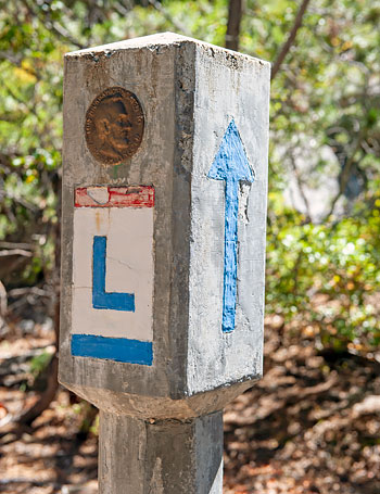
In the 1920s, Boy Scouts across the nation erected concrete markers like this reproduction to mark the highway's route through town and country alike.
We dedicate this marker to the Scouts, dreamers, and thousands of motorists who accepted the challenge and adventure of the Lincoln Highway.
Dedicated September 25, 1999 by the California Chapter of the Lincoln Highway Association and Tahoe National Forest

The Lincoln Highway
The Lincoln Highway, conceived in 1912 and formally dedicated October 31, 1913, was the first road to cross the United States. It ran from Times Square in New York City to Lincoln Park in San Francisco passing through thirteen states: New York, New Jersey, Pennsylvania, Ohio, Indiana, Illinois, Iowa, Nebraska, Colorado, Wyoming, Utah, Nevada, and California.
In 1925, the US Bureau of Public Roads eliminated named trails and highways, and Lincoln Highway became drab series of numbers: US 1, US 30, US 40, US 50.
One of the last actions of the Lincoln Highway Association before it closed, was to order the casting of 3,000 concrete markers, to dedicate the highway to the memory of Abraham Lincoln. A rectangular head on top of a hexagonal shaped post, the markers featured the Lincoln Highway logo, a bronze medallion and arrows to indicate the route of the memorial highway. The US Bureau of Public Roads allowed the placement of these markers along the length of the old highway.
According to the 1916 edition of the Lincoln Highway Association Official Road Guide, a trip from the Atlantic to the Pacific was "something of a sporting proposition" and might take twenty to thirty days. Motorists were advised to top off their gasoline at every opportunity and to wade through water before driving through to verify the depth. Recommended equipment included chains, a shovel, an axe, jacks, tire casings, inner tubes and sundry tools. Firearms were not necessary, but west of Omaha full camping equipment was recommended.
Source: Lincoln Highway Association and others.

