California Historical Landmarks in El Dorado County
California Historical Landmark 571
Salmon Falls
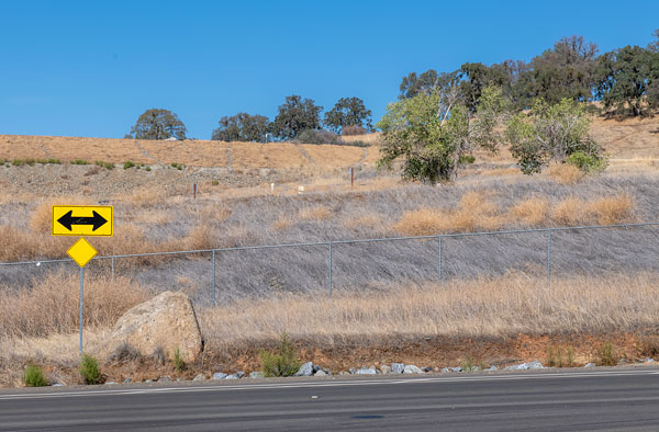
Green Valley Road at Shadowfax Lane
Folsom Lake State Recreation Area
These historic mining towns, and other mining camps of the gold rush era now inundated by Folsom Lake, are commemorated by the nearby Mormon Island Memorial Cemetery. Here were reburied the pioneers whose graves were flooded when the lake was formed by Folsom Dam.
Citation from California Office of Historic Preservation

The only photograph of the missing bear flag plaque that we could find was at the website of the Center for Sacramento History, but because the image is under copyright, we could not reproduce it here.
The missing marker read:
Mormon Island, Negro Hill, Salmon Falls, and Condemned Bar
These historic mining towns, and other mining camps of the Gold Rush Era, now inundated by Folsom Lake, are commemorated by the Mormon Island Memorial Cemetery nearby. Here were reburied the pioneers whose graves were flooded when the lake was formed by Folsom Dam. Their memory is a reminder that what we are today we owe to those who came before us.
Registered Historical Landmarks No. 569, 570, 571, and 572
Plaque placed by California State Park Commission in cooperation with Marguerite Parlor No. 12, Native Daughters of the Golden West. June 9, 1957.

Salmon Falls Diggings, established in early 1849, was located about eight miles above Mormon Island on the South Fork of the American River. It was a well-known and popular mining location stretching for three miles along the river. The site was named for the bountiful salmon that were caught at the falls and had for many decades provided food for the local Native American tribes. In short time, the town grew from a few modest dwellings to a population of about three thousand people.
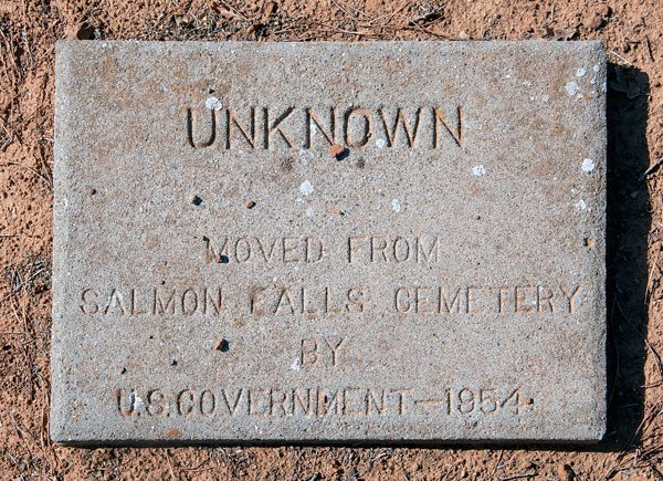
The town cemetery was located on an oak-covered hillside just east of town, partly below and partly above the high water line of present day Folsom Lake. Markers were found for fourteen people and the remains from an additional sixty-two unmarked graves were found. Perhaps some of the unmarked graves were because an epidemic swept through Salmon Falls in 1852, killing twenty to twenty-five people.
Adapted from a placard near the entrance to the Mormon Island Relocation Cemetery.


The damming of rivers and creeks inundated many 19th century cemeteries, buildings and entire towns.
Bagby (Merced River)
Bidwell's Bar (Feather River)
Camanche (Mokelumne River)
Condemned Bar (American River)
Jacksonville (Tuolumne River)
Middle Bar (Pardee River)
Mormon Island, (American River)
Negro Hill (American River)
Poverty Bar (Mokelumne River)
Reynold's House (Silver Creek)
Salmon Falls (American River)
Searsville (Corte Madera Creek)
Whiskeytown (Clear Creek)
The town of Volcano in Amador County had a close call in 1934 but was granted a reprieve and survives today.


