California Historical Landmarks in Sacramento County
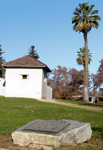
California Historical Landmark 745
Coloma Road - Sutter's Fort
28th and L Streets
Sacramento


(Click Photo to Zoom)
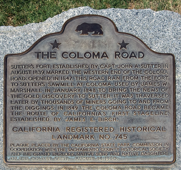
Sutter's Fort, established by Capt. John A. Sutter in August 1839, marked the western end of the Coloma Road. Opened in 1847, this road ran from the fort to Sutter's sawmill at Coloma. Used by James W. Marshall in January 1848 to bring the news of the gold discovery to Sutter, it was traversed later by thousands of miners going to and from the diggings. In 1849 the Coloma Road became the route of California's first stageline, established by James E. Birch.
California Registered Historical Landmark No. 745
Plaque placed by the California State Park Commission in cooperation with the Sacramento Historical Society and the Grand Parlors, Native Sons and Daughters of the Golden West, August 14, 1960.

Other Coloma Road historical markers are located near the Nimbus Dam (California Landmark 746), in the town of Rescue (California Landmark 747), and in Marshall State Historic Park (California Landmark 748).