Nevada Historic Markers in Churchill County: New Pass Station
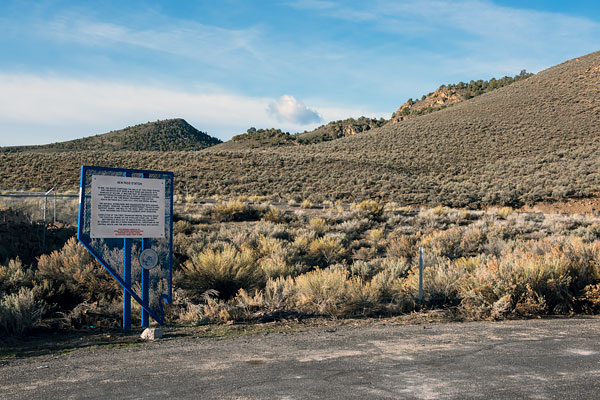
Nevada Historical Marker 135
New Pass Station
US 50
Twenty-Five Miles West of Austin
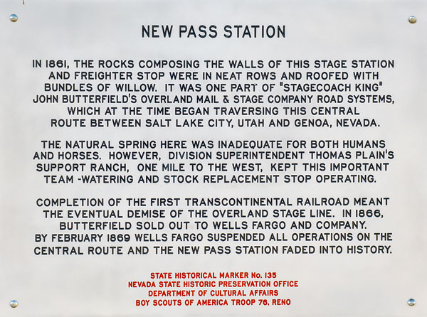
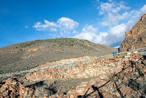
In 1861, the rocks composing the walls of this stage station and freighter stop were in neat rows and roofed with bundles of willow. It was one part of "stagecoach king" John Butterfield's Overland Mail & Stage Company road systems, which at the time began traversing this central route between Salt Lake City, Utah and Genoa, Nevada.
The natural spring here was inadequate for both humans and horses. However, Division Superintendent Thomas Plain's support ranch, one mile to the west, kept this important team-watering and stock replacement stop operating.
Completion of the first transcontinental railroad meant the eventual demise of the Overland Stage Line. Butterfield sold out to Wells Fargo and Company. By February 1869 Wells Fargo suspended all operations on the Central Route and the New Pass Station faded into history.
State Historical Marker No. 135
Nevada State Historic Preservation Office
Department of Cultural Affairs
Boy Scouts of America Troop 76, Reno


