Nevada Historic Markers in Churchill County: Sand Mountain
Nevada Historical Marker 10
Sand Mountain
US 50
Twenty Miles East of Fallon


15 July 2008
(Click Photos to Zoom)
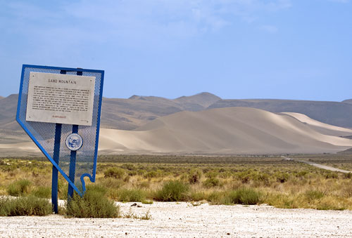
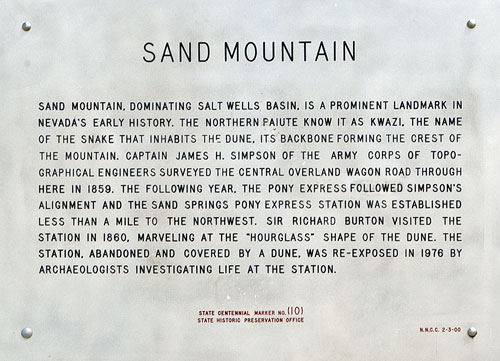
Sand Mountain, dominating Salt Wells basin, is a prominent landmark in Nevada's early history. The northern Paiute know it as Kwazi, the name of the snake that inhabits the dune, its backbone forming the crest of the mountain. Captain James H. Simpson of the Army Corps of Topographical Engineers surveyed the central overland wagon road through here in 1859. The following year, the Pony Express followed Simpson's alignment and the Sand Springs Pony Express Station was established less than a mile to the northwest. Sir Richard Burton visited the station in 1860, marveling at the "hourglass" shape of the dune. The station, abandoned and covered by a dune, was re-exposed in 1976 by archaeologists investigating life at the station.
State Centennial Marker No. (10)
State Historic Preservation Office


14 March 2016
(Click Photos to Zoom)
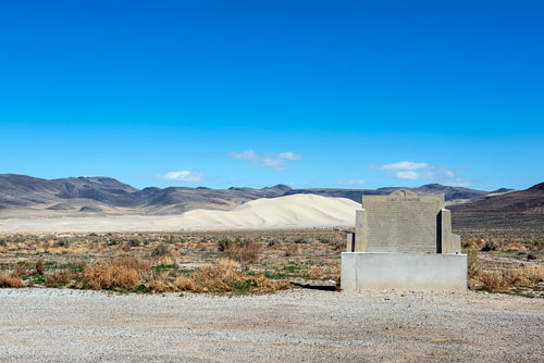
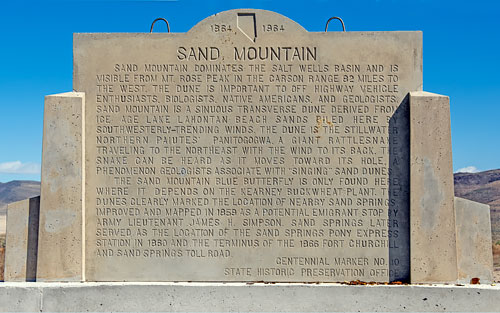
Sand Mountain dominates the Salt Wells Basin and is visible from Mt. Rose Peak in the Carson Range 82 miles to the west. The northern Paiute know it as Kwazi, the name of the snake that inhabits the dune, its backbone forming the crest of the mountain. The dune is important to off highway vehicle enthusiasts, biologists, Native Americans, and geologists. Sand Mountain is a sinuous transverse dune derived from Ice Age Lake Lahontan beach sands piled here by southwesterly-trending winds. The dune is the Stillwater Northern Paiutes' Paniogogwa, a giant rattlesnake traveling to the northwest with the wind to its back. The snake can be heard as it moves towards its hole, a phenomenon geologists associate with "singing" sand dunes.
The Sand Mountain Blue Butterfly is only found here where it depends on the Kearney buckwheat plant. The dunes clearly marked the location of nearby Sand Springs, improved and mapped in 1859 as a potential emigrant stop by Army Lieutenant James H. Simpson. Sand Springs later served as the location of the Sand Springs Pony Express Station in 1860 and the terminus of the 1866 Fort Churchill and Sand Springs Toll Road.
Centennial Marker No. 10
State Historic Preservation Office