California Historical Landmarks in San Francisco
California Historical Landmark 84
Rincon Hill
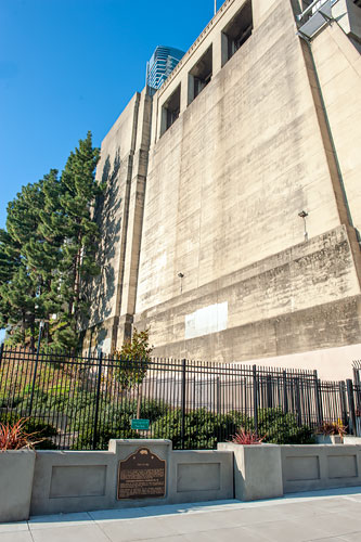
Beale Street Near Bryant Street
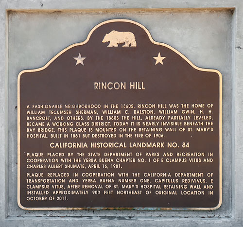
A fashionable neighborhood in the 1860s, Rincon Hill was the home of William Tecumseh Sherman, William C. Ralston, William Gwin, H. H. Bancroft and others. By the 1880s the hill, already partially leveled, became a working class district. Today it is nearly invisible beneath the Bay Bridge. This plaques is mounted on the retaining wall of St. Mary's Hospital, built in 1861 but destroyed in the fire of 1906.
California Registered Historical Landmark No. 84
Plaque placed by the State Department of Transportation and Yerba Buena Number One, Capitulus Redivivus, E Clampus Vitus, after removal of St. Mary's Hospital retaining wall and installed approximately 900 feet northeast of original location in October of 2011.

Original Marker in Rincon Alley Near Bryant Street
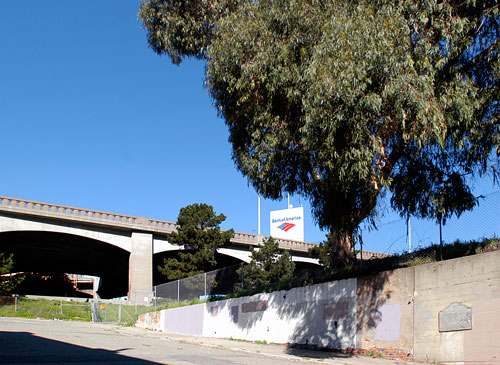 The tower with the Bank of America sign was once the Union Oil Clock Tower
which was demolished along with the retaining wall to be replaced by residential
highrises. 8 February 2004
(Click Photos to Zoom)
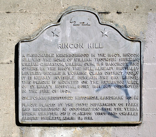
A fashionable neighborhood in the 1860's, Rincon Hill was the home of William Tecumseh Sherman, William C. Ralston, William Gwin, H.H. Bancroft and others. By the 1880's the hill, already partially leveled, became a working class district. Today it is nearly invisible beneath the Bay Bridge. This plaques is mounted on the retaining wall of St. Mary's Hospital, built in 1861 but destroyed in the fire of 1906.
California Registered Historical Landmark No. 84
Plaque placed by the State Department of Parks and Recreation in cooperation with the Yerba Buena Chapter of E Clampus Vitus and Charles Albert Shumate, April 18, 1981.

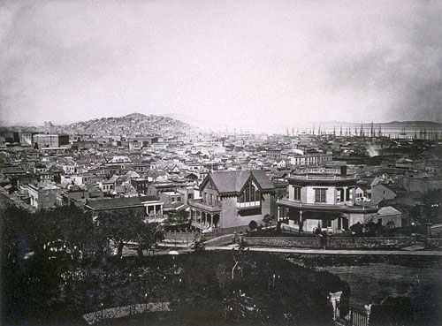
Photograph and caption courtesy of UC Berkeley, Bancroft Library.

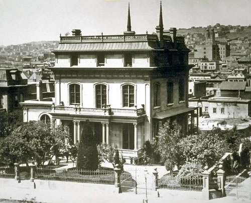
Courtesy of UC Berkeley, Bancroft Library

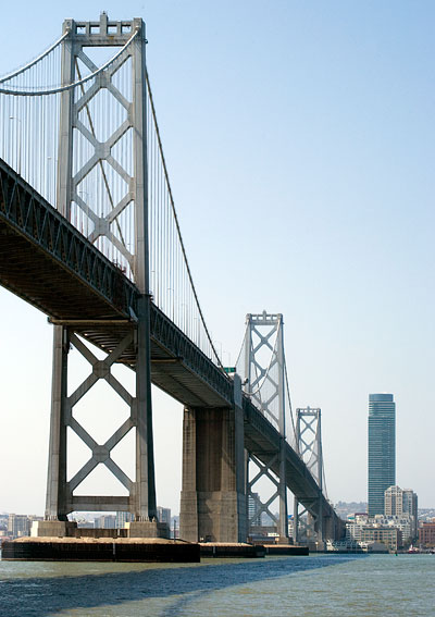
26 April 2009
(Click Photos to Zoom)
Construction of One Rincon Hill began on 10 November 2005 after the 1955 clock tower building - visible in the first photograph on this page - was razed.
Like the Transamerica Pyramid, One Rincon Hill stands free of other skyscrapers, and both buildings can be seen from many vantages in San Francisco, not always to good effect. Both buildings appear at their best when viewed from a boat in the San Francisco Bay.
During construction, when the land around Rincon Alley was regraded, the plaque was removed and not replaced.
