National Register of Historic Places in Santa Barbara County
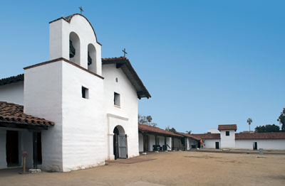
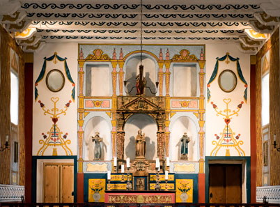
Santa Barbara Presidio
123 East Canon Perdido Street
Santa Barbara
Under Spanish rule, Alta California was divided into four military districts, each under the jurisdiction of a Presidio which guarded several missions and a large area of land. The Santa Barbara Presidio guarded 7,000 square miles extending north and south from the San Fernando Valley almost to San Luis Obispo and east and west from the Pacific Ocean to the San Joaquin Valley.
The Santa Barbara Presidio protected the missions and lands of La Purisima, Santa Ynes, Santa Barbara, San Buenaventura and San Fernando, within which dwelt the largest concentration of Indians in California. The Commandante of the Presidio was the absolute ruler of all peoples within his military district.
Source: Adapted from the NRHP nomination submitted in 1973.

The Santa Barbara Presidio is California Historical Landmark 636.

