Nevada Historic Markers in Churchill County: Wagon Jack Shelter
Nevada Historical Marker 110
Wagon Jack Shelter
State Route 722
Eastgate
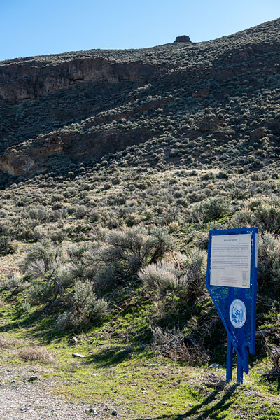
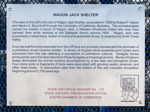
The base of this cliff is the site of Wagon Jack Shelter, excavated in 1958 by Robert F. Heizer and Martin A. Baumhoff through the University of California, Berkeley. The archaeologists named the shelter in honor of Wagon Jack, a Western Shoshone Indian who may have camped here while working at the Eastgate Ranch around 1900. Wagon Jack was purportedly a rabbit boss, leader of communal jackrabbit drives, in neighboring Smith Creek Valley.
A curved wall formerly extended from the cliff and probably represented the perimeter of a prehistoric brush-covered shelter. A variety of chipped stone projectile point styles were recovered from this site reflecting a succession of prehistoric cultures. Eastgate Series arrows points were first described from these Eastgate archaeological sites. Bones of bighorn sheep dominated the animal remains accompanied by a few deer and pronghorn bones. Four stone tools or fragments of tools were associated with grinding seeds, pinenuts, and other dried foods. A radiocarbon date from the bottom of this site indicates occupation beginning about 3,150 years ago.
State Historical Marker No. 110
State Historic Preservation Office
Austin Chamber of Commerce


