NoeHill Travels in New Mexico
New Mexico Scenic Historic Markers in Rio Arriba County

US Route 84 at Sate Route 162
1 August 2010
(Click Photo to Zoom)
1 August 2010
(Click Photo to Zoom)
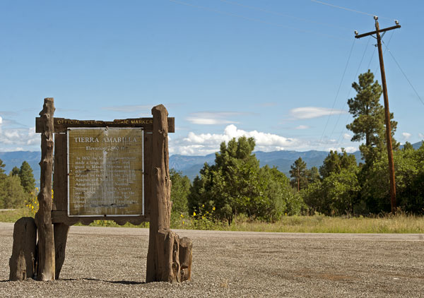
Tierra Amarilla
Elevation - 7,860 ft.
Elevation - 7,860 ft.
In 1832 the Mexican government made a large community land grant to Manuel Martinez and other settlers, but settlement was delayed by raids by Utes, Jicarilla Apaches and Navajos. Tierra Amarilla, first called Nutritas, became the Río Arriba County seat in 1880. In 1967 it was the focus of conflicts between National Guardsmen and land rights activist Reies Tijerina.

Someone scratched out the name Reies Tijerina making it illegible.