NoeHill Travels in New Mexico
Historic Sites and Points of Interest in Rio Arriba County


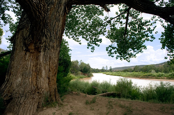
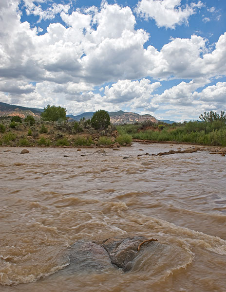
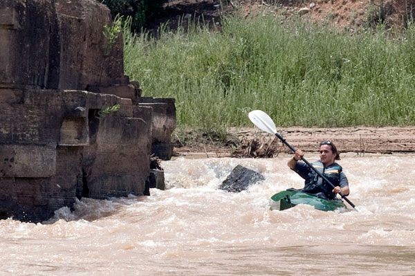
Three Views of the Rio Chama
29 July 2010
(Click Photos to Zoom)
29 July 2010
(Click Photos to Zoom)

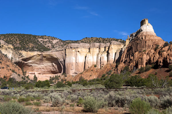
Echo Ampitheater
1 August 2010
(Click Photo to Zoom)
The name “Rio Arriba” means “Upper River.” The County is so named because the Rio Grande, the lifeline of the state, runs through it.
Under Mexican rule (established in 1821) New Mexico was divided into two territories. Rio Abajo, the “Lower River,” comprised everything south of Santa Fe. Most of New Mexico’s landed gentry traced their ancestry directly from Spain and lived in Rio Abajo. Rio Arriba, the forgotten “Upper River,” evolved into a creative, diverse, isolated, shunned, independent, self-reliant and quirky cultural mix.
Quoted from The History of Rio Arriba by Raymond Ortiz and Lauren Reichelt published on the Rio Arriba County Website.
| Name | Address | City | Year | Authority | ID | Sort Address | Sort Name |
|---|---|---|---|---|---|---|---|
| Becker Bunk House and Barn | County Road 340 South of Hatchery Road | Los Ojos | National | 1985000777 | County 340 | Becker Bunk House and Barn | |
| Blanton Log House | County Road 340 South of Hatchery Road | Los Ojos | National | 1985000778 | County 340 | Blanton Log House | |
| Bond House | 710 Bond Street | Espanola | National | 1980002564 | Bond | Bond House | |
| Burns Lake Bungalow | Half Mile South of East end of Hatchery Road | Los Ojos | National | 1985000780 | Hatchery | Burns Lake Bungalow | |
| Casados House | Highway 84 North of State Route 95 | Los Ojos | National | 1985000825 | County 329 | Casados House | |
| Chimayo Trading Post and Trujillo House | 110 Sandia Drive | Espanola | National | 1999000500 | Sandia 0110 | Chimayo Trading Post and Trujillo House | |
| Denver & Rio Grande Railroad San Juan Extension | Between Antonito and Chama via Cumbres Pass | Chama | National | 1973000462 | Denver & Rio Grande Railroad San Juan Extension | ||
| El Barranco Community Ditch | Exdending from the Chama River at Chama Division to Upper Brazos Ditch | Los Brazos | National | 1986002296 | Chama | El Barranco Community Ditch | |
| El Porvenir Community Ditch | Extending from 4.5 Miles East of Encenada to 0.5 Miles N of Encenada | Ensenada | National | 1986002300 | Ensenada | El Porvenir Community Ditch | |
| Embudo Historic District | Highway 68 | Embudo | National | 1979001547 | Highway 068 | Embudo Historic District | |
| Encenada Community Ditch | County Road 328 | Encenada | National | 1986002303 | County 328 | Encenada Community Ditch | |
| Foster Hotel | Fourth and Terrace | Chama | National | 1986000225 | Street 04 | Foster Hotel | |
| Gonzales House | County Road 155, Two Miles East of Highway 84 | Abiquiu | National | 1996000258 | County 155 | Gonzales House | |
| Jaramillo House and Barn | County Road 573 at County Road 327 | Ensenada | National | 1986002309 | County 573 | Jaramillo House and Barn | |
| Jicarilla Apache Historic District | Main Street, Highway 17, Apache, Keliiaa, and Sand Hill Drives | Dulce | National | 1984002956 | Main | Jicarilla Apache Historic District | |
| La Puente Community Ditch | Extending from Parkview discharge pt. to 0.7 Miles Southwest of La Puente on the Chama River | La Puente | National | 1986002294 | La Puente | La Puente Community Ditch | |
| La Puente Historic District | Roughly bounded by Main Road in La Puente from drop-off of 2nd to 1st plateau East to Church on West. | Los Ojos | National | 1985000826 | Main | La Puente Historic District | |
| Los Brazos Historic District | Roughly bounded by Highway 84, North Road, fence line and drop-off to Rio Brazos | Los Ojos | National | 1985000827 | Highway 084 | Los Brazos Historic District | |
| Los Luceros Hacienda | Near End of Los Luceros Road (Highway 48) | Los Luceros | National | 1983004157 | Highway 048 | Los Luceros Hacienda | |
| Los Ojos (Parkview) Fish Hatchery | East end of Hatchery Road | Los Ojos | National | 1985000779 | Hatchery | Los Ojos (Parkview) Fish Hatchery | |
| Los Ojos (Parkview) Historic District | Roughly Bounded by Highway 84, Junction of Old Highway With Highway 84, Drop-Off from First Plateau to Chama River Valley and East-West Hatchery Road | Los Ojos | National | 1985000828 | Highway 084 | Los Ojos (Parkview) Historic District | |
| Manzanares House | County Road 340 | Los Ojos | National | 1985000829 | County 340 | Manzanares House | |
| Martinez Barn | County Road 340 South of Hatchery Road | Los Ojos | National | 1985000781 | County 340 | Martinez Barn | |
| Martinez House | County Road 340 North of Hatchery Road | Los Ojos | National | 1985000782 | County 340 | Martinez House | |
| O'Keefe Home and Studio | County Road 164, House 13 | Abiquiu | National | 1998001197 | CR-164 | O'Keefe Home and Studio | |
| Ortega Cabin | Carson National Forest | Cebolla | National | 1987002456 | Carson National Forest | Ortega Cabin | |
| Our Lady of Lourdes Grotto | Highway 64 and State Route 329 | Los Ojos | National | 1986002318 | Highway 064 | Our Lady of Lourdes Grotto | |
| Parkview Community Ditch | County Road 329 | Los Ojos | National | 1986002305 | County 329 | Parkview Community Ditch | |
| Plaza Blanca Community Ditch | Extending from 2 Miles WSW of State Fish Hatchery to 1 Miles SSW of Plaza Blanca | Plaza Blanca | National | 1986002298 | Plaza Blanca | Plaza Blanca Community Ditch | |
| Plaza Blanca Historic District | Roughly Plaza Blanca and Old Puente Ford Roads Adjacent to Plaza Blanca Ditch | Plaza Blanca | National | 1986002322 | Plaza Blanca | Plaza Blanca Historic District | |
| Rio Arriba County Courthouse | 149 State Road 162 | Tierra Amarilla | National | 1987000894 | Highway 162 | Rio Arriba County Courthouse | |
| Rio Grande Bridge at San Juan Pueblo | Old Highway 74 Over Rio Grande | Alcalde | National | 1997000738 | Highway 074 | Rio Grande Bridge at San Juan Pueblo | |
| San Antonio de Padua del Quemado Chapel | Highway 80 | Cordova | National | 1978001821 | Highway 080 | San Antonio de Padua del Quemado Chapel | |
| San Joaquin Church | County Road 329 | Ensenada | National | 1986002310 | County Road 329 | San Joaquin Church | |
| San Juan Pueblo | Highway 56 | San Juan Pueblo | National | 1974001201 | Highway 056 | San Juan Pueblo | |
| Sanchez Barns | Off Highway 64 | Brazos | National | 1986002317 | Highway 064 | Sanchez Barns | |
| Sanchez House | Off Highway 64 | Brazos | National | 1986002315 | Highway 064 | Sanchez House | |
| Sanchez-March House | County Road 329 | Los Ojos | National | 1985000830 | County 329 | Sanchez-March House | |
| Santa Clara Pueblo | Highway 30 | Santa Clara Pueblo | National | 1974001199 | Highway 030 | Santa Clara Pueblo | |
| Tierra Amarilla Air Force Station | State Route 112 | Tierra Amarilla | National | 2000000342 | Highway 112 | Tierra Amarilla Air Force Station | |
| Tierra Amarilla Community Ditch | Extending from 2 Miles ESE of Tierra Amarilla to 0.2 Miles N of La Corridera Road | Tierra Amarilla | National | 1986002307 | La Corridera | Tierra Amarilla Community Ditch | |
| Tierra Amarilla Historic District | Roughly along La Puente Road on both sides of Highway 84 and along Old Highway and Creek Road | Tierra Amarilla | National | 1986002327 | Highway 084 | Tierra Amarilla Historic District | |
| Trujillo (Fernando) House | West of Highway 84 and North of Highway 95 | Los Ojos | National | 1985000832 | Highway 084 | Trujillo (Fernando) House | |
| Trujillo (Manuelita) House | Off Highway 84 South of Los Brazos River | Los Ojos | National | 1985000831 | Highway 084 | Trujillo (Manuelita) House | |
| Valdez Barn | San Joaquin Church Loop Road | Ensenada | National | 1986002314 | San Joaquin | Valdez Barn | |
| Chama | US Route 64/84 | Chama | New Mexico | Highway 064 | Chama | ||
| Tierra Amarilla | US Route 84 | Tierra Amarilla | New Mexico | Highway 064 | Tierra Amarilla | ||
| Continental Divide | US Route 64/84 | Chama | New Mexico | Highway 064 | Continental Divide |