El Dorado County Points of Interest
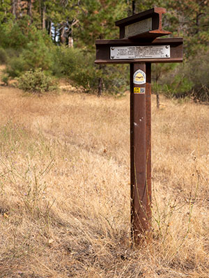
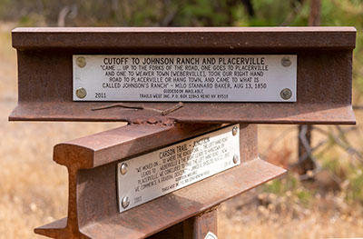
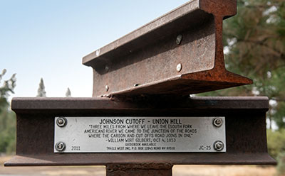
Johnson Cutoff 25 has two plates. One is mounted
on the top rail and the other on the bottom rail.
The bottom rail also contains a plate for Carson
Trail 61.
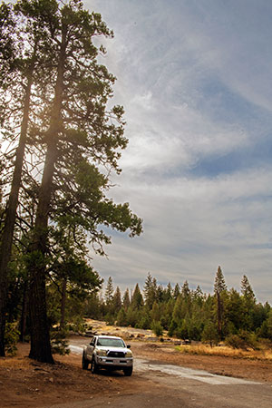
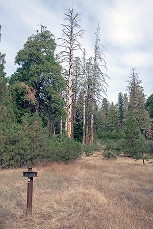
Intersection of Park Creek Road and Old Carson
Road "...where the Carson and Cutoff Road joins
[sic] into one."
18 October 2022
(Click Photos to Enlarge)
Park Creek Road at Old Carson Road
Johnson Cutoff Trail Marker 25 has two plates. One is mounted on the top rail and the other on the bottom rail. The bottom rail also contains a plate for Carson Trail 61.
The top marker reads:
Cutoff to Johnson Ranch and Placerville
"Came...up to the forks of the road, one goes to Placerville and one to Weaver Town (Weberville), took our right hand road to Placerville or Hang Town, and came to what is called Johnson's ranch" - Milo Stannard Baker, Aug 13, 1850
The bottom marker reads:
Johnson Cutoff - Union Hill
"Three miles from where we leave the [South Fork American River] we came to the junction of the roads where the Carson and Cutoff Road joins [sic] into one." - William Wirt, Oct 4, 1853
