El Dorado County Points of Interest
Wrights Lake Road
Eldorado National Forest
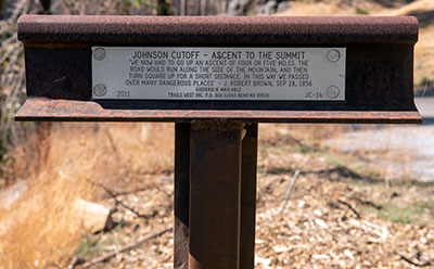
The plaque reads:
Johnson Cutoff - Ascent to the Summit
"We now had to go up an ascent of four or five miles. The road would run along the side of the mountain, and then turn square up for a short distance. In this way we passed over many dangerous places" - J. Robert Brown, Sep 26, 1856

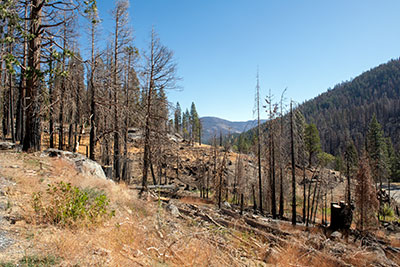
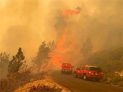
The Caldor Fire started on 14 August 2021 and burned for nine weeks until it was fully contained. The fire covered 221,835 acres and destroyed 1,003 structures, including the entire town of Grizzly Flats. The fire burned primarily south of the US-50 corridor, but it jumped the highway here at Wrights Lake Road.
It was the second fire known to cross the crest of the Sierra Nevada. The Dixie Fire crossed a few days earlier.

A note on spelling.
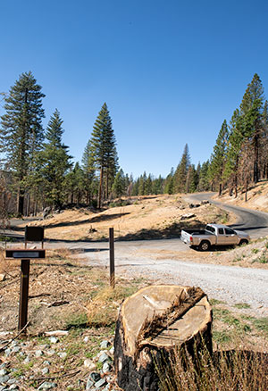
The marker is located in the Eldorado National Forest in El Dorado County. The county is spelled with two words (El Dorado). The national forest is spelled with one word (Eldorado).


