California Historical Landmarks in Alameda County
California Historical Landmark 246
Rancho San Antonio
East 14th and Hays Streets In Root Park
San Leandro

(Click Photo to Zoom)
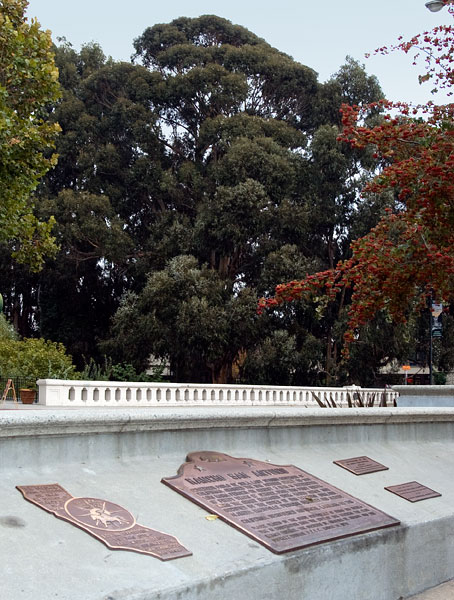
Governor Pablo de Solá, last Spanish governor of California, awarded the San Antonio Grant to Don Luís María Peralta on August 3, 1820 in recognition of forty years of service. From this point northward, the grant embraced over 43,000 acres, now occupied by the cities of San Leandro, Oakland, Alameda, Emeryville, Piedmont, Berkeley, and Albany.
California Registered Historical Landmark No. 246
Plaque placed by the State Department of Parks and recreation in cooperation with the City of San Leandro, the Club Iberico Espanñol, the Sociedad de Agustina de Aragon, and the Supreme Council U.P.E.C., March 14, 1970.

- 1860 - Ygnacio, builds a brick house, California Historical Landmark 285, half a mile north of here in San Leandro
- 1868 - An earthquake on the Hayward Fault destroys many of the rancho's buildings, but Ygnacio's house survives
- 1870 - Antonio builds an Italianate Victorian home, California Historical Landmark 925, nine miles north of here in the Fruitvale section of Oakland
- 1879 - The Peralta estate has dwindled to twenty-three acres at the time of Antonio's death
- 1897 - Antonio's daughter, Inez Galindo, sells the remaining land and buildings to a developer
