Historic Sites and Points of Interest in Sierra County
 Marker Detail
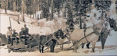
In the winter horse-drawn sleighs and sleds were used to travel in the snow. Horses were fitted with nine-inch square metal shoes with rubber and canvas on the top for the horse's comfort and to prevent frostbite.
Marker Detail
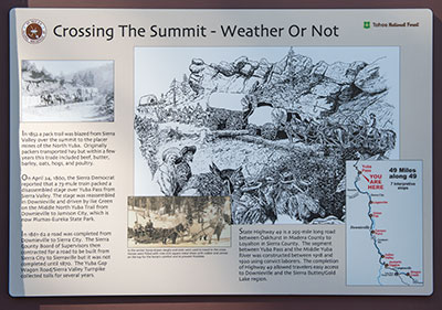
State Highway 49 is a 295-mile long road between Oakhurst in Madera County to Loyalton in Sierra County. The segment between Yuba Pass and the Middle Yuba River was constructed between 1918 and 1920 using convict laborers. The completion of Highway 49 allowed travelers easy access to Downieville and the Sierra Buttes/Gold Lake region.
7 October 2016
(Click Photos to Zoom)
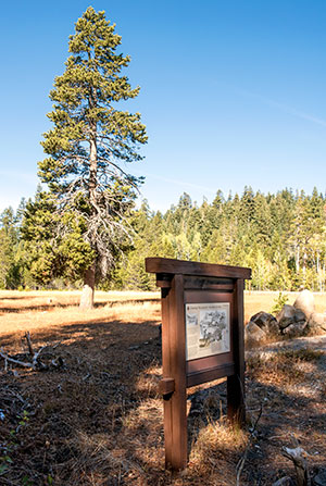
Yuba Pass Road at State Route 49
Tahoe National Forest
Crossing the Summit - Weather or Not
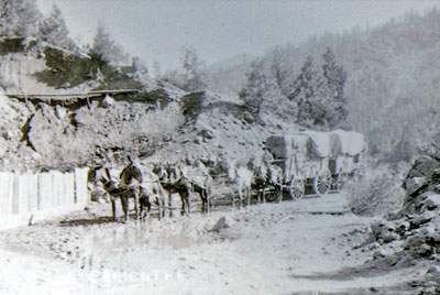
In 1852 a pack trail was blazed from Sierra Valley over the summit to the placer mines of the North Yuba. Originally packers transported hay but within a few years this trade included beef, butter, barley, oats, hogs, and poultry.
On April 24, 1860, the Sierra Democrat reported that a 73-mule train packed a disassembled stage over Yuba Pass from Sierra Valley. The stage was reassembled in Downieville and driven by Ike Green on the Middle North Yuba Trail from Downieville to Jamison City, which is now Plumas-Eureka State Park.
In 1861-62 a road was completed from Downieville to Sierra City. The Sierra County Board of Supervisors then contracted for a road to be built from Sierra City to Sierraville but it was not completed until 1870. The Yuba Gap Wagon Road/Sierra Valley Turnpike collected tolls for several years.

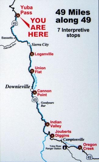
This marker is one of seven interpretive markers in the series "49 Miles Along 49" sponsored by a joint partnership among the Tahoe National Forest, Downieville Chamber of Commerce, Sierra County Historical Society, California Department of Transportation and the Downieville Lions Club.
