NoeHill Travels in California
Historic Sites and Points of Interest in Placer County
Truckee Trail T-41: To Summit Valley
Old Donner Summit Road
Near Sugar Bowl Ski Resort
Old Donner Summit Road
Near Sugar Bowl Ski Resort
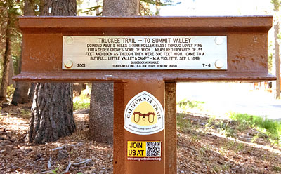
Truckee Trail - To Summit Valley
Dcinded abut 5 miles (from Roller Pass) throug lovly pine fur & ceder groves some of wich ... measured upwards of 33 feet and look as though they were 300 feet high. Came to a butifull little valley & campt - M. A. Violette, Sep 1, 1849

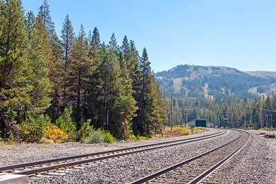
About one thousand feet west of this marker, Old Donner Summit Road crosses the right-of-way of the original Transcontinental Railroad which closely paralleled the Truckee Trail over Donner Summit in the Sierra Nevada.
Completion of the railroad in 1869 led to the rapid decline of wagon travel on the emigrant trails.

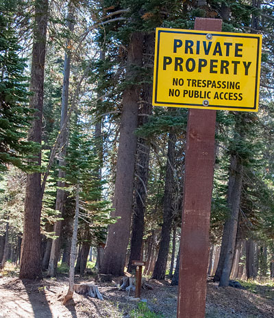
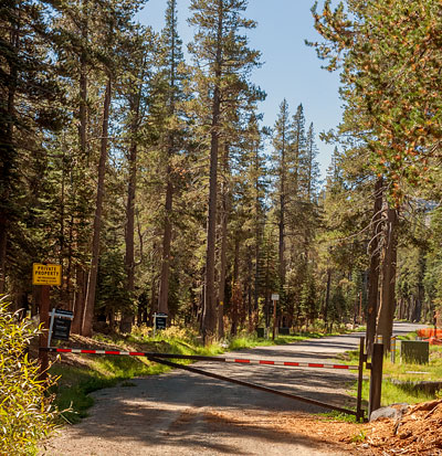
The marker is on private, gated property.


