NoeHill Travels in Oregon
Oregon Historical Markers
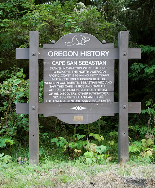
Cape San Sebastian
Highway 101 North of Meyers Creek Road
Cape San Sebastian


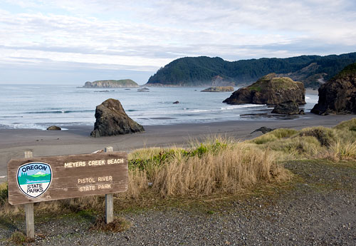
Cape San Sebastion Viewed From Meyers Creek Beach

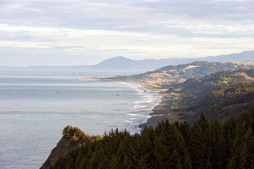
Looking North From Cape San Sebastion
Latitude 42.328864N Longitude 124.425994W
Latitude 42.328864N Longitude 124.425994W

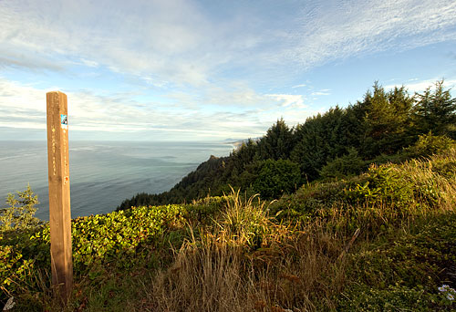
Oregon Coast Trail at Cape San Sebastian
All Photos 23 September 2010
(Click Photo to Zoom)
Cape San Sebastian
Spanish navigators were the first to explore the North American Pacific coast beginning fifty years after Columbus discovered the western continents. Sebastian Vizciano saw this cape in 1603 and named it after the patron saint of the day of his discovery. Other navigators, Spanish, British, and American, followed a century and a half later.