Nevada Historic Markers in Washoe County: Gerlach
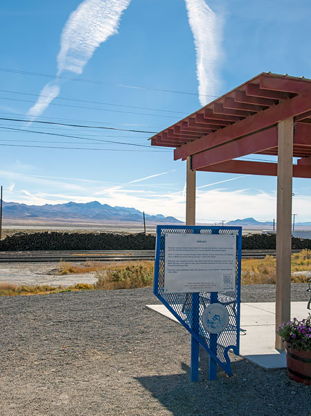
Nevada Historical Marker 152
Gerlach
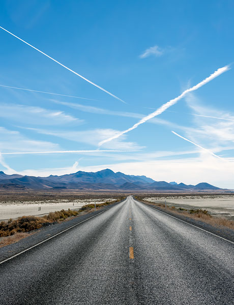
State Route 447
Gerlach
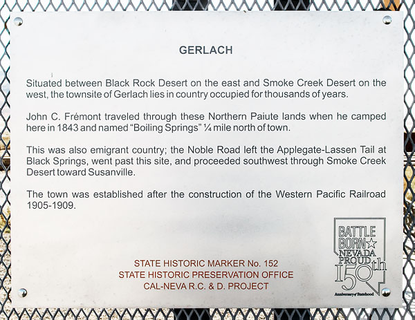
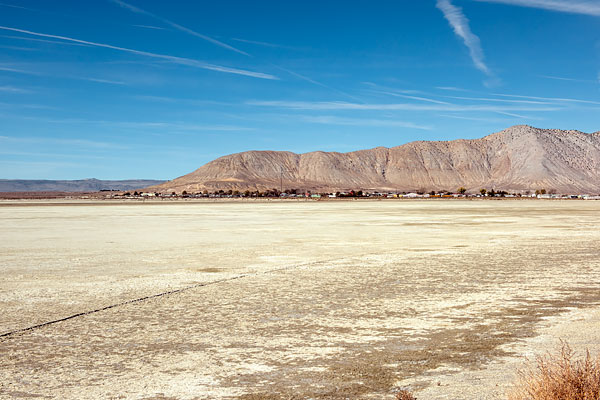
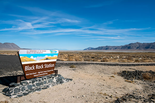
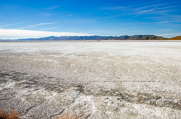
Situated between Black Rock Desert on the east and Smoke Creek Desert on the west, the townsite of Gerlach lies in country occupied for thousands of years.
John C. Frémont traveled through these Northern Paiute Indian lands when he camped here in 1843 and named "Boiling Springs" ¼ mile north of town.
This was also emigrant country; the Noble Road left the Applegate-Lassen Tail [sic] at Black Springs, went past this site, and proceeded southwest through Smoke Creek Desert toward Susanville.
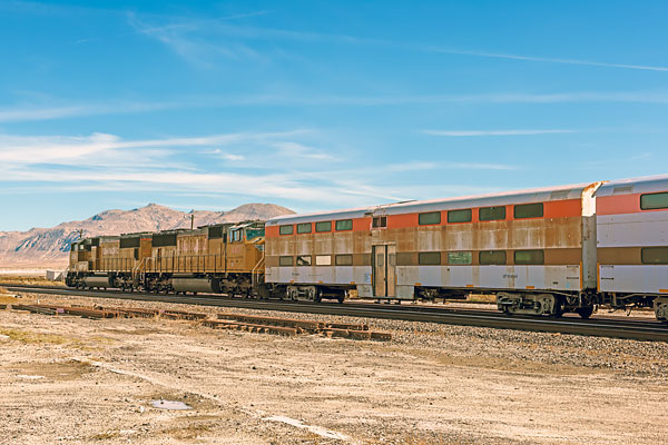
The town was established after the construction of the Western Pacific Railroad 1905-1909.
State Historic Marker No. 152
State Historic Preservation Office
Cal-Neva R.C. & D. Project

