Nevada Historic Markers in Lander County
Nevada Historical Marker 136
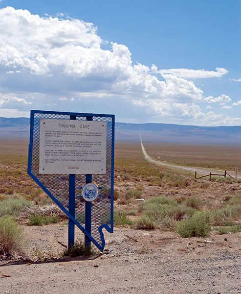
Toquima Cave
State Route 376 at NF-001
East of Austin
39°23'59.0"N 116°56'32.1"W


(Click Photos to Zoom)
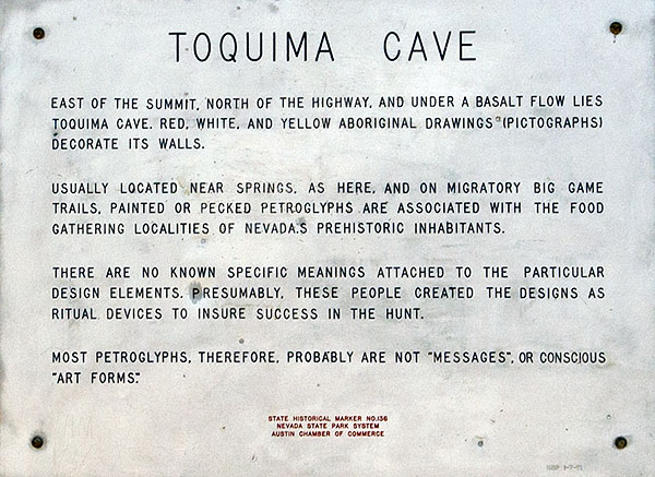
East of the summit, north of the highway, and under a basalt flow lies Toquima Cave. Red, white, and yellow aboriginal drawings (pictographs) decorate its walls.
Usually located near springs, as here, and on migratory big game trails, painted or pecked petroglyphs are associated with the food gathering localities of Nevada's prehistoric inhabitants.
There are no known specific meanings attached to the particular design elements. Presumably, these people created the designs as ritual devices to insure success in the hunt.
Most petroglyphs, therefore, probably are not "messages" or conscious "art forms."
State Historical Marker No. 136
Nevada State Park System
Austin Chamber of Commerce