Nevada Historic Markers in Eureka County: Township of Eureka
Nevada Historical Marker 11
Eureka
US Route 50 (Rest Area at New York Canyon Road)
South of Eureka

15 July 2008
(Click Photo to Zoom)
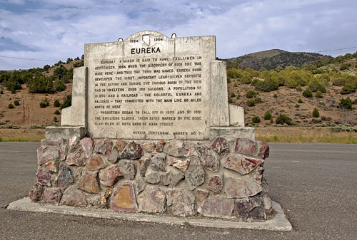
Eureka! a miner is said to have exclaimed in September, 1864 when the discovery of rich ore was made here - and thus the town was named. Eureka soon developed the first important lead -silver deposits of the nation and during the furious boom of the 80's had 16 smelters, over 100 saloons, a population of 10,000 and a railroad -- the colorful Eureka and Palisade - that connected with the main line 80 miles north of here.
Production began to fall off in 1883 and by 1891 the smelters closed, their sites marked by the huge slag piles at both ends of Main Street.
Nevada Centennial Marker No. 11

In 2007, the population of Eureka was approximately 1,040 souls. In recent Presidential elections, eighty percent of the votes were cast for Republican candidates and twenty percent were cast for Democratic candidates. (Source: City-Data.com)