Mariposa County Points of Interest
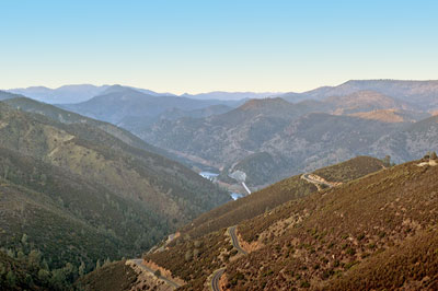
 State Route 49 winds down the mountain to the Merced River. The bridge across the Merced River is visible in the center of the photograph.
The town of Bagby was inundated in 1967 by the New Exchequer Dam which created Lake McClure.
All Photos 20 December 2006
(Click Photos to Zoom)
State Route 49
Near Bear Valley
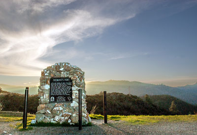
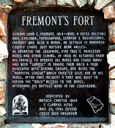
The marker reads:
Fremont's FortGeneral John C. Fremont, 1813-1893. A noted military man, explorer, topographer, senator & businessman, Fremont was also a miner. He settled in Mariposa County living just outside Bear Valley.
He operated the Josephine, Pine Tree & Princeton Mines and other claims. In 1858 he returned from his travels to operate his mines and found many had been "jumped." In taking them back a feud developed with several groups, one being the "Hornitas League" which tried to seize one of his mines. After that incident a fort was built to defend "only" access to the mines.
Afterwards his battles were in the courtroom.
Dedicated by Matuca Chapter 1849
E Clampus Vitus
May 29, 1994 (5999)
Credo Quia Absurdum

