Tuolumne County Points of Interest
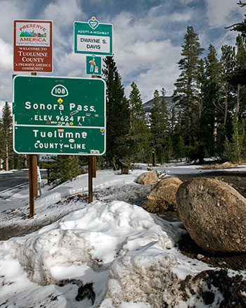
State Route 108
Stanislaus National Forest
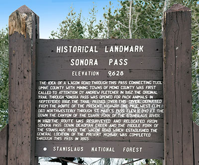
Historical Landmark
Sonora Pass
Elevation 9,628
The idea of a wagon road through this pass connecting Tuolumne County with mining towns of Mono County was first called to attention by Andrew Fletcher in 1862. The original trail through Sonora Pass was opened for pack animals in September 1862. The trail passed over this divide, departed from the route of the present highway, one mile west, climbed northwesterly through St. Mary's pass. Elev. 10,040 ft. Then down the canyon of the Clark Fork of the Stanislaus River.
In 1863 the route was resurveyed and relocated from Sonora Pass down Deadman Creek and the Middle Fork of the Stanislaus River. The wagon road which established the general location of the present highway was completed through the pass in 1865.
Stanislaus National Forest

Sonora Pass is located at the juncture of three counties: Alpine, Mono and Tuolumne.


