Historic Sites and Points of Interest in Siskiyou County
Down Shasta Valley
Harry Cash Road
Southeast of Montague
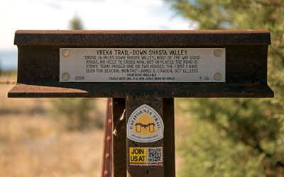
Yreka Trail - Down Shasta Valley
"Drove 16 miles down Shasta Valley, most of the way good roads, no hills to cross now, but in places the road is stony. Today passed one or two houses. The first I have seen for several months" - James S. Cowden, Oct 11, 1853
Guidebook Available
Trails West Inc. P.O. Box 12045 Reno NV 89510
2008 Y-16

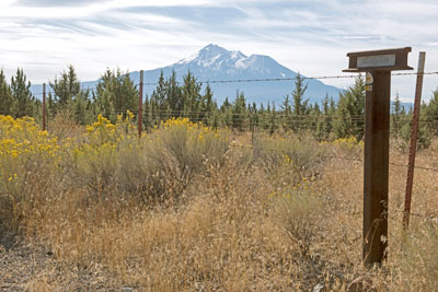
Harry Cash Road provides splendid views of Mount Shasta and Shasta Valley.
If you are driving south on I-5 on a clear day, consider taking a forty-mile backroads route between the towns of Yreka and Weed rather than the interstate. (The distance on the interstate is ten miles shorter than this diversion and you can drive much faster, but there are only a few places on the interstate where you can legally stop to admire nature and take selfies.)
Take Route 3 due east from Yreka to Montague, an historic railroad town. Then follow Little Shasta Road southest to Harry Cash Road then south to US 97.
US 97, which is part of the Volcanic Legacy Scenic Byway, will take you to Weed where you will find an on-ramp to I-5.

